4 Easy - Moderate Hiking Routes in Morzine
Plateau de Nyon & Lac de Nyon-Guérin
Easy | Approx. 1 hour 15 minutes | +200m elevation - See here for itinerary and online map
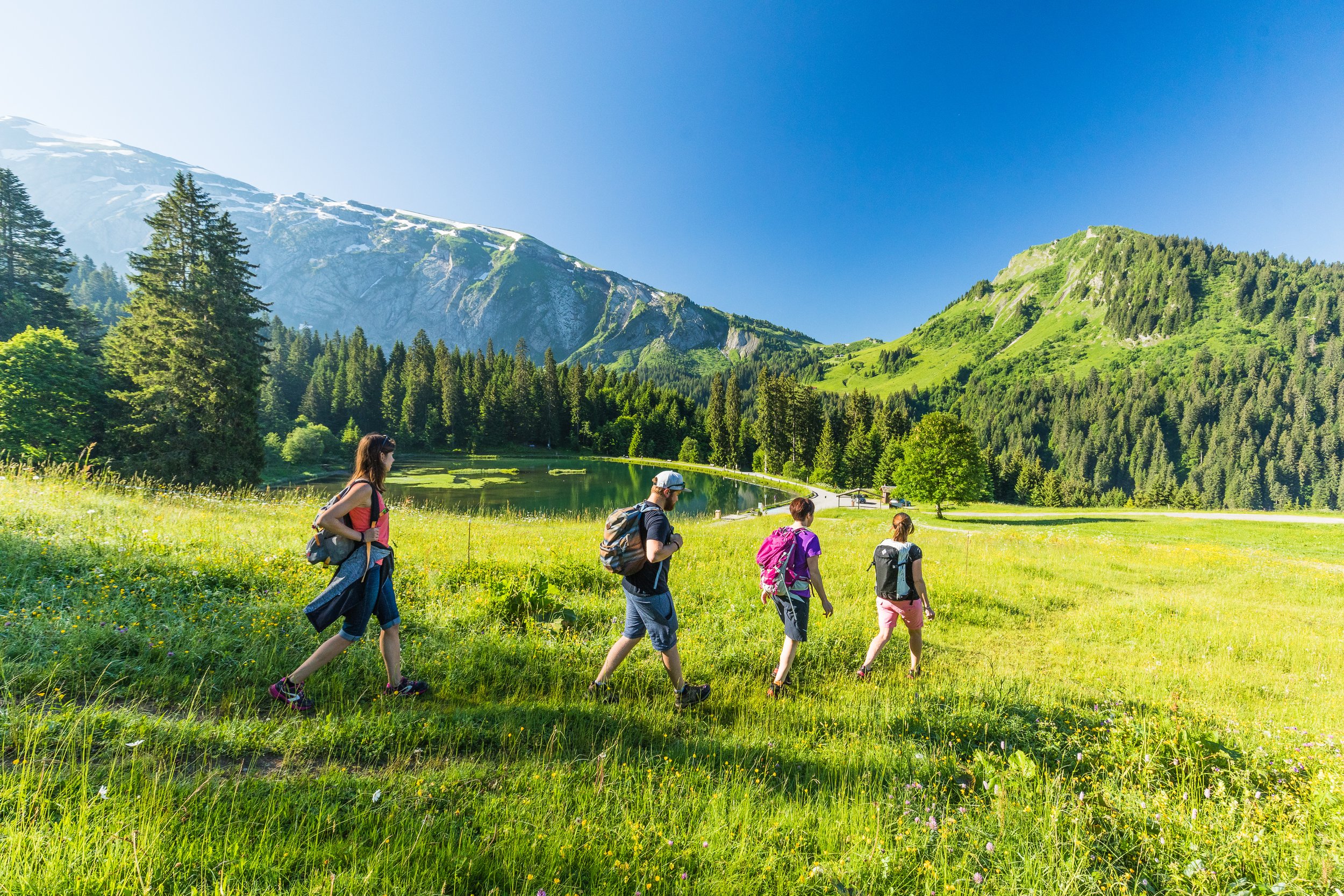
If you’re looking for an easy mountain walk with spectacular scenery and minimal climbing, the walk from Plateau de Nyon to Lac de Nyon-Guérin is one of Morzine’s most accessible summer hikes.
Starting from the Nyon Plateau — reached either by the Nyon cable car or by car via the scenic Col de Joux Plane road — this route offers a gentle introduction to Alpine hiking with panoramic views throughout. From the top station, follow the clearly marked trail climbing through traditional mountain pastures towards Pointe de Nyon. Signposts direct walkers towards Lac de Nyon-Guérin / Lac de Joux Plane / Pointe de Nyon, making navigation straightforward even for casual hikers.
After around an hour of easy walking, you’ll reach the peaceful waters of Lac de Nyon-Guérin, surrounded by dramatic mountain scenery — an ideal place to pause, take photos or enjoy a picnic before returning the same way.
For an even more memorable experience, take the Pointe de Nyon chairlift and cross the famous Pas de l’Aigle glass footbridge, suspended high above the valley with incredible 360° mountain views. From the summit, an alternative route descends all the way down to the lake, offering breathtaking views across Morzine and the beautiful Vallée d’Aulps. This is a perfect route for families, beginner hikers or anyone wanting maximum views with minimum effort.
2.Crêtes de Super Morzine & Belvédère du Lac
Easy to Moderate | Approx. 2 hours 30 minutes | +200m elevation - See Itinerary and online map here
For one of the most rewarding panoramic walks above Morzine, the Crêtes de Super Morzine and Belvédère du Lac route combines mountain ridgelines, wild alpine scenery and one of the most dramatic viewpoints in the area.
Begin in Morzine by taking the Super Morzine cable car, followed by the Zore chairlift. From the top, continue along the marked trail towards Quart des Puers, before following signs in the direction of Col de la Joux Verte and passing above the golf course as you enter the unique alpine landscape of Avoriaz.
At Quart des Puers (1,756m), take the path on your right which descends towards the Belvédère du Lac — around a 20-minute detour that is well worth the effort. Here you’ll discover one of the most spectacular viewpoints in the valley, with dramatic views looking down over Lac de Montriond, sitting around 600 metres below. This section is exposed in places, so extra care is recommended and children should be kept close.
From the Belvédère, retrace your steps and take the first path on the right towards Col de la Croix des Combes. The route crosses a beautiful alpine meadow, filled with mountain flowers during summer. Once you reach the cross at the col, the return route climbs gently back towards Super Morzine via wide switchbacks leading to the top of the Zore chairlift and Crêtes de Zore restaurant.
Take a moment here before descending — the panoramic terrace and orientation table offer stunning views across Morzine and the surrounding peaks. This is a fantastic option for walkers wanting a longer route with spectacular scenery, without committing to a full mountain hike.
3.Morzine to Les Chavannes Walk
Easy to Moderate | Approx. 3 hours | +100m / -600m - See here for itinerary and online map
If you’re looking for a relaxed mountain walk that combines panoramic views, open alpine landscapes and finishes in one of the prettiest villages in the area, the Balade aux Chavannes is a fantastic choice.
Start your adventure by taking the Pléney gondola from Morzine — a quick 10-minute lift ride that instantly opens up sweeping mountain scenery. At the top station, head towards the orientation table before following the trail in the direction of the Belvédère chairlift. Continue along the edge of the golf course and enjoy a gentle walk across open mountain terrain towards Les Chavannes, reached after around an hour.
From the Les Chavannes gondola area (1,484m), continue following signs towards the village of Les Gets and the route of the Tour des Portes du Soleil. As the trail descends, turn right at Mouille au Blé and continue downhill via Mouille Ronde, enjoying beautiful changing views as the landscape gradually transitions from mountain pastures into village surroundings.
The route eventually leads into Les Gets, where you can explore the village, stop for lunch or enjoy a well-earned drink before returning to Morzine. To make the journey easy, simply catch the Balad’Aulps Bus from Les Gets bus station back to Morzine. With minimal climbing and a mostly downhill profile, this is an excellent option for walkers wanting a longer route without the challenge of a full mountain hike.
4.Tour des Alpages – Frétérolle to Chardonnière
Easy to Moderate | Approx. 1 hour 45 minutes | +190m elevation - See here for itinerary and online map
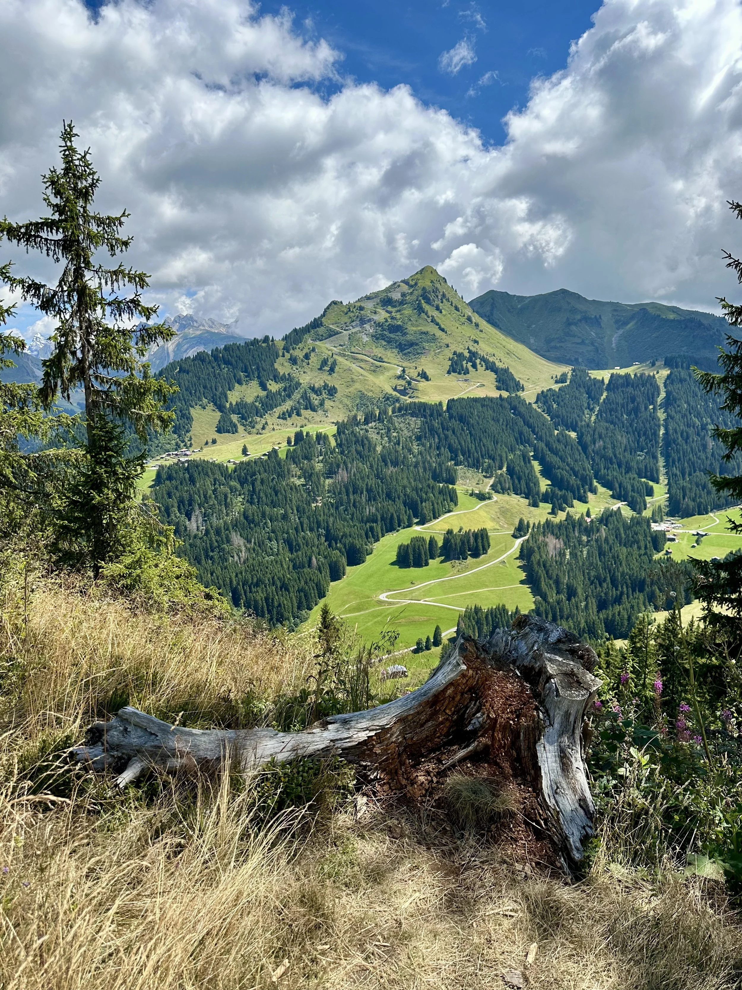
For a peaceful escape into one of Morzine’s most beautiful natural areas, the Tour des Alpages from Frétérolle to Chardonnière offers a scenic circular walk through alpine meadows, forest trails and mountain streams. Starting at the picturesque Lac des Mines d’Or in the Vallée de la Manche, this route feels wonderfully remote while remaining accessible for most walkers.
Begin by following the trail uphill to Frétérolle chalet, reached in around 20 minutes. From here, continue on the path towards Col de Cou par la forêt before turning right into the woodland after approximately five minutes, following signs for Refuge de Chardonnière.
The trail winds gently through the forest and crosses several wooden bridges over mountain torrents — sturdy footwear is recommended as sections can be damp after rainfall. As you continue, follow signs towards Chardonnière, eventually reaching the charming Chardonnière chalet refuge, tucked away in the trees and surrounded by peaceful mountain scenery.
A wide forest track then leads to Pont de Chardonnière, where a special natural feature awaits — this is the source of the Dranse River, one of the region’s most important waterways. To complete the loop, climb back up on the right and take the path signposted Le Charny par la forêt, following the stream through woodland before crossing the road and continuing back towards Lac des Mines d’Or.
Back at the lake, take time to explore this fascinating Geopark Chablais geosite, where interpretation panels explain the area’s unique geological history. With forest shade, flowing water and beautiful alpine scenery throughout, this is a brilliant route for anyone wanting a quieter mountain walk away from the main lift areas.